Transportation
Transportation
Let’s go on a trip!
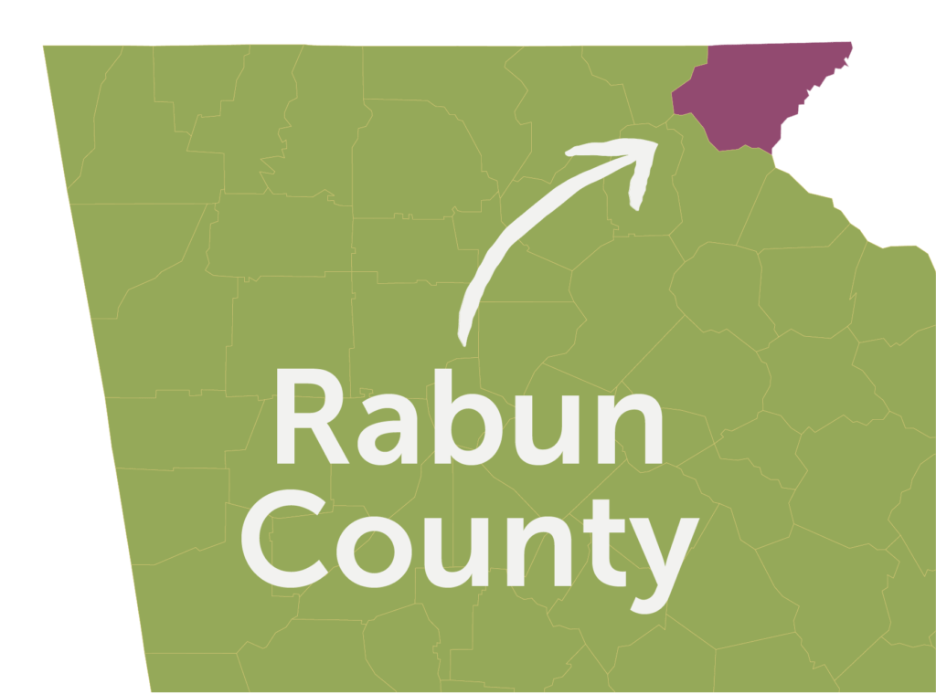
Rabun County is located in the northeast corner of Georgia and is in close proximity to four interstate highways (I-85N in SC, I-85S in GA, I-40E/W in NC, and I-985 in GA). The two major corridors in Rabun County are US 441 (north/south) and US 76 (east/west). South of the City of Clayton, US 441 is a four-lane/divided highway all the way to Atlanta. Travel time to Atlanta is typically less than two hours.
Well Positioned
Distance to Hartsfield-Jackson International Airport: Approximately 122 miles
Distance to Greenville-Spartanburg International Airport: Approximately 93 miles
Distance to Asheville Regional Airport: Approximately 88 miles
Distance to Port of Brunswick, GA: Approximately 365 miles
Distance Port of Savannah, GA: Approximately 300 miles
Distance to Port of Charleston, SC: Approximately 288 miles
Distance to CSX and Norfolk Southern Rail Stations (Atlanta): Approximately 112 miles
Distance to Amtrak (Toccoa): Approximately 35 miles
Traffic Flow
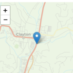
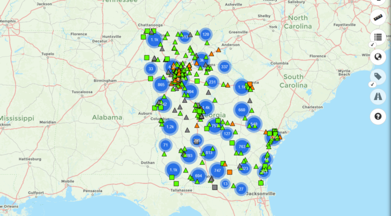
To learn about traffic statistics in Rabun County, click on the links below to access data about specific Rabun County locations from the Georgia Department of Transportation’s Traffic Analysis and Data Application. Click on the interactive map link below to select other locations throughout the State of Georgia.

